
Sydney’s Rocks: The Cottage Stayed, the Shoreline Changed
Read Cadmans Cottage, Campbells Cove, Argyle Cut and Observatory Hill through the changing shoreline, sandstone and levels behind the familiar harbour view.
Sydney The RocksObservation essay
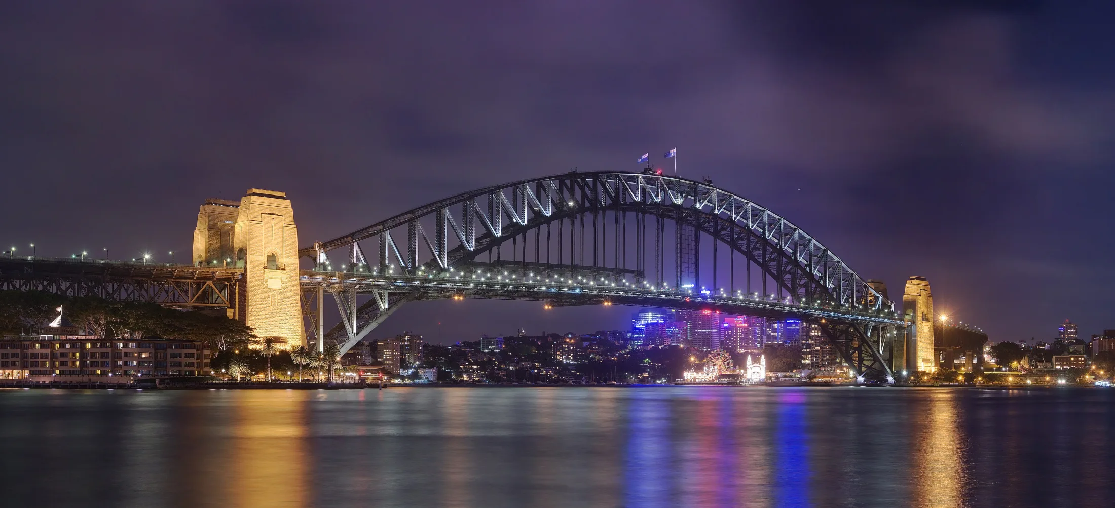
Begin with a small building
Sydney’s famous harbour outline can overwhelm smaller buildings. Cadmans Cottage offers another starting point. NSW National Parks dates the sandstone building to 1816 and records uses associated with water transport and policing. Its work was connected with the harbour.
Why does it no longer stand directly at the water? The agency explains that construction of Circular Quay changed the relationship, leaving the harbour about one hundred metres away. The building remained while its surroundings changed. That distance is a compact piece of urban history.
A surviving building is not a return to an unchanged city
A moved shoreline challenges the idea of a historic district surviving entirely intact. Roads, ground and water around an old building may differ from its original setting. The cottage provides a reference point, not direct access to the former coast.
Reading the surroundings matters as much as reading the walls. Roof and façade explain appearance; the distance to the quay gives clues to former function. Surviving fabric and altered surroundings can jointly explain a place without reproducing one historical moment.
Open space at Campbells Cove has a job
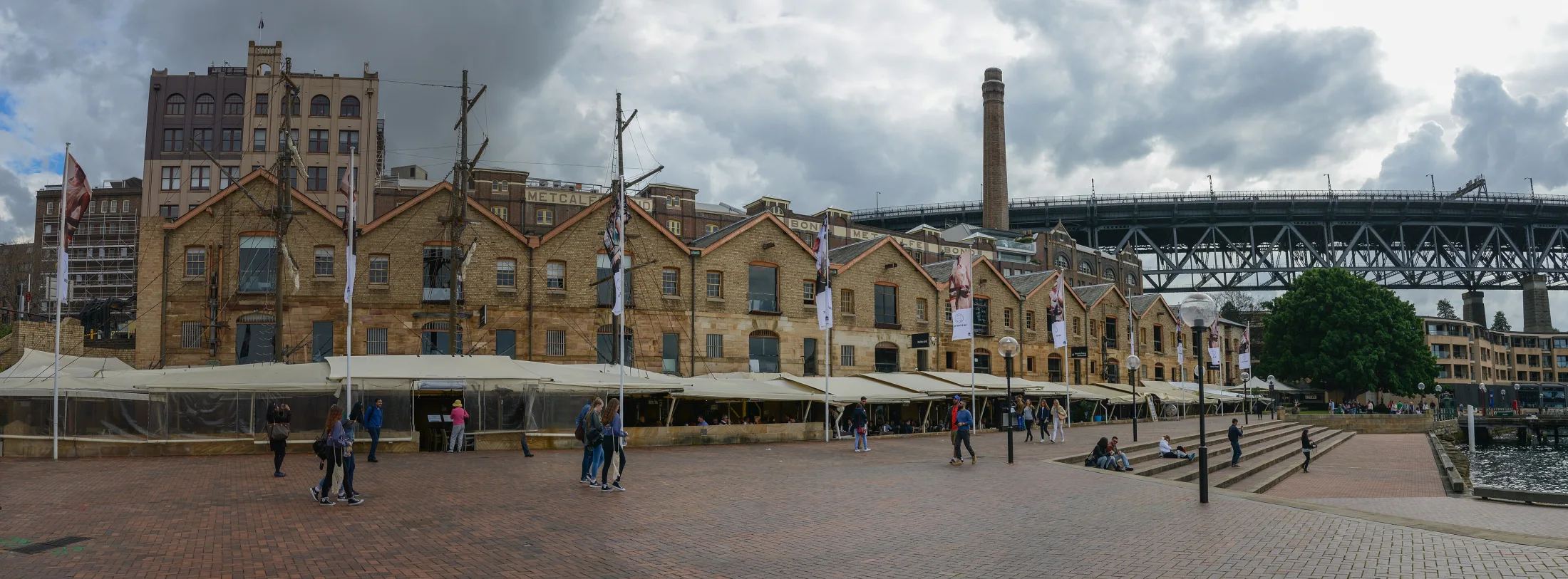
Campbells Cove is easily treated as foreground for a bridge photograph. Its management information instead describes pedestrian movement, gathering and access to surrounding buildings. Openness does not mean an area without responsibilities or uses.
The journey photographs place warehouses, open ground and water in successive layers. Buildings establish an edge, the space in front permits movement and the harbour extends the view. Present-day uses differ from warehousing, but the relationship between frontage and circulation remains legible.
Sandstone also shapes the route
At Argyle Cut, open waterfront gives way to high rock surfaces and structures overhead. Cars and people in the photographs establish scale. Stone appears not only as a building material but as terrain through which a road passes.
Nearby stairs make another distinction visible: adjacent roads need not share a level. A flat map compresses those differences, while walking requires negotiating them. Slopes and steps explain how the city connects and affect the effort behind apparently short distances.
The observatory is not the beginning of the history
The City of Sydney dates the observatory to 1857–1859. That building date is not the beginning of the place’s history. The city recognises Gadigal custodianship, a relationship that must not disappear simply because colonial structures dominate a photograph.
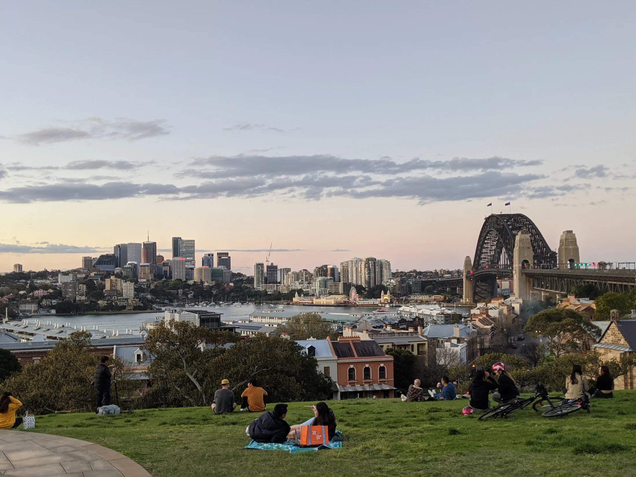
The public park and an observatory visit also involve different arrangements. A distant harbour view helps locate roofs and shoreline while making small details disappear. The cottage’s altered distance from the water is clearer close up than from a panorama.
A harbour keeps working while it is being admired
Around Circular Quay, boats and passengers restore the harbour’s working character. A visitor may seek a view while someone catching a ferry needs a clear entrance and a timetable. The historic district shares space with those continuing activities.
Three questions provide a useful thread: why the cottage stands farther from water, how rock affects streets and what a hill reveals about the harbour. They connect shoreline change, terrain and viewing distance. The bridge remains compelling, but a small cottage can explain something the skyline alone cannot.
References
These sources inform the essay’s historical and local context. Its observations and interpretations are original to WalkThere.
NSW National Parks and Wildlife Service
Cadmans Cottage Historic SiteHistorical context for Cadmans Cottage and the changing waterfront.
Destination NSW
The RocksContext for The Rocks’ buildings and harbour neighbourhood.
City of Sydney
Observatory Park Plan of ManagementPlace history and management context for Observatory Park.
More journey background
Related journey sources
- Circular Quay — Destination NSW
- Getting here — Place Management NSW
- Cadmans Cottage — Place Management NSW
- Campbells Cove — Place Management NSW
- Observatory Park — City of Sydney
- Sydney Observatory — NSW Government