
Southern Ridges: A Bridge That Connects Two Hills
Follow Marang Trail, Mount Faber, Henderson Waves and Terrace Garden to read the relationship between greenery, walking infrastructure and Singapore’s harbour.
Southern RidgesObservation essay
The stairs come before the bridge photograph
A photograph of Henderson Waves can stand in for the Southern Ridges, but the experience begins elsewhere. Marang Trail’s stairs make the rise into Mount Faber tangible. Buildings and harbour activity shift from nearby surroundings towards views beyond the trees.
Green on a map still needs an entrance, and that entrance may involve steps. Proximity to a station does not establish a level walk. Understanding arrival is useful before deciding how much of the ridge to cover.
The harbour remains in the view
NParks describes views from Mount Faber towards the southern coastline and islands. The city is not excluded to make the green setting work. Instead, trees provide a foreground from which the wider urban setting can be seen again.
Nearby leaves and a distant coast invite different kinds of attention. The path explains the immediate surroundings; a lookout establishes direction. Alternating between them gives the ascent more substance than a single panorama.

The waves also make places to pause
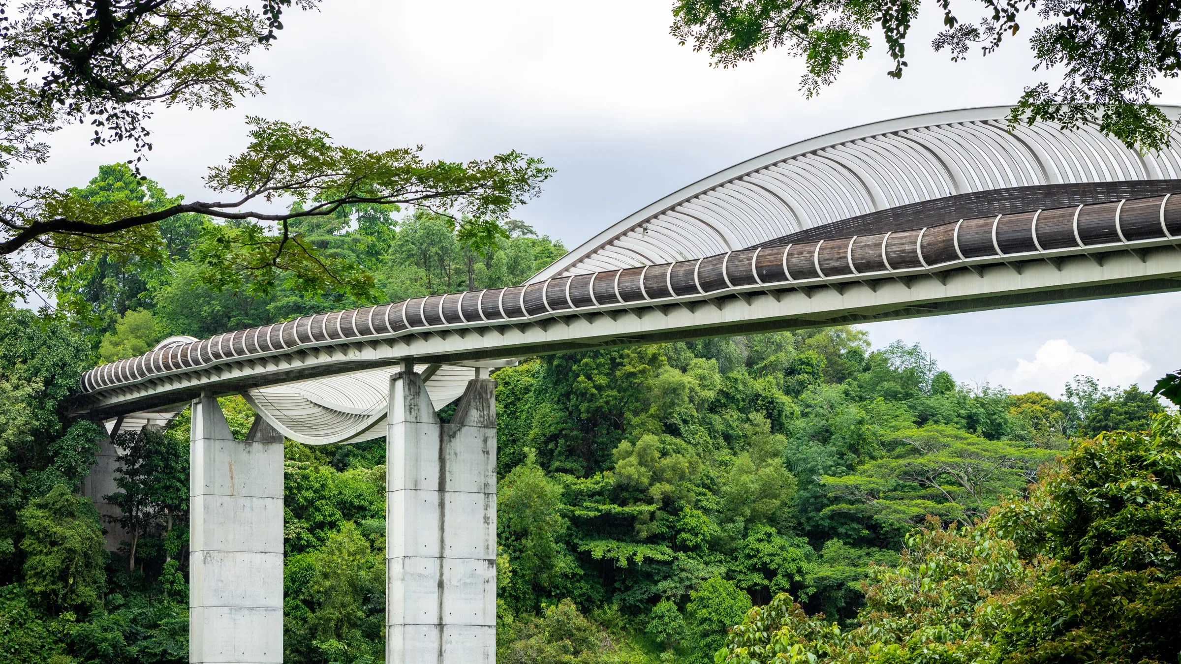
NParks presents Henderson Waves as a 274-metre pedestrian bridge improving connections between nature areas. Its undulating ribs form alcoves for rest. The bridge provides room for both movement and a temporary pause.
From a distance the side appears as a curve; on the deck it becomes edges, shelter and seating space. The large image translates into details used by a body. Where people pass and where they stop explains the design more precisely than a visual resemblance alone.
The ends explain why the bridge matters
The middle of a bridge attracts photographs, but the ends explain its purpose. Henderson Waves connects the Mount Faber and Telok Blangah Hill areas. Its timber surfaces are only part of a relationship between hills and intervening roads.
The connection does not remove every change of level in a visit. Approaches and onward paths remain distinct questions. Continuous green areas on a map and a currently usable walking route are related without being identical.
Terraces organise a different use of the hill
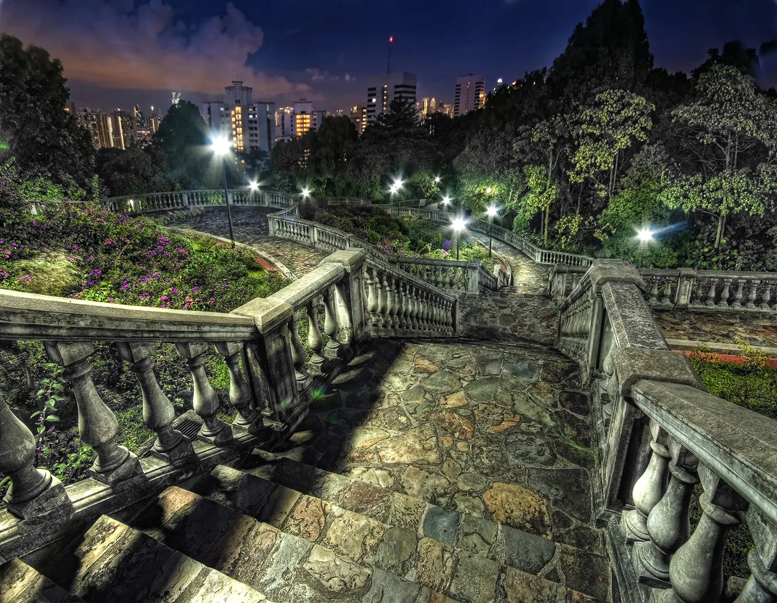
Terrace Garden changes attention from the bridge’s long crossing to successive platforms. In the journey photograph, steps and curved edges divide the slope into more defined spaces for plants, movement and pausing.
Stairs, bridge and terraces represent different interventions: climbing, crossing and remaining. These facilities help determine how people encounter the greenery. They are more informative when read with the plants than when the landscape is labelled simply natural or artificial.
Leave room to choose a shorter visit
Photographs cannot establish today’s path closures or surface conditions. Plan the specific visit with current NParks notices, weather and personal capacity. A mapped connection does not guarantee that every entrance is usable indefinitely.
Choose the spatial experience that matters most: the wooded ascent, the bridge or the garden. A shorter visit can still reveal how the parts connect. Understanding what each element makes possible gives the public landscape a clearer identity.
References
These sources inform the essay’s historical and local context. Its observations and interpretations are original to WalkThere.
National Parks Board
Henderson WavesOfficial context for Henderson Waves and its park connection.
National Parks Board
Labrador Nature Park Network and the Southern RidgesBackground on the Southern Ridges trail and park network.
More journey background
Related journey sources
- Mount Faber Park — National Parks Board
- Telok Blangah Hill Park — National Parks Board
- Mount Faber Loop footpath closure — National Parks Board
- Telok Blangah Hill Park footpath closure — National Parks Board
- Park connector notices — National Parks Board
- Your Guide to the Southern Ridges — National Parks Board