
Miyajima: The Shrine After the Tide Recedes
Read Miyajima through changing water levels, Itsukushima’s corridors, Daisho-in’s hillside and Momijidani, where a familiar island view contains several different scales.
MiyajimaObservation essay
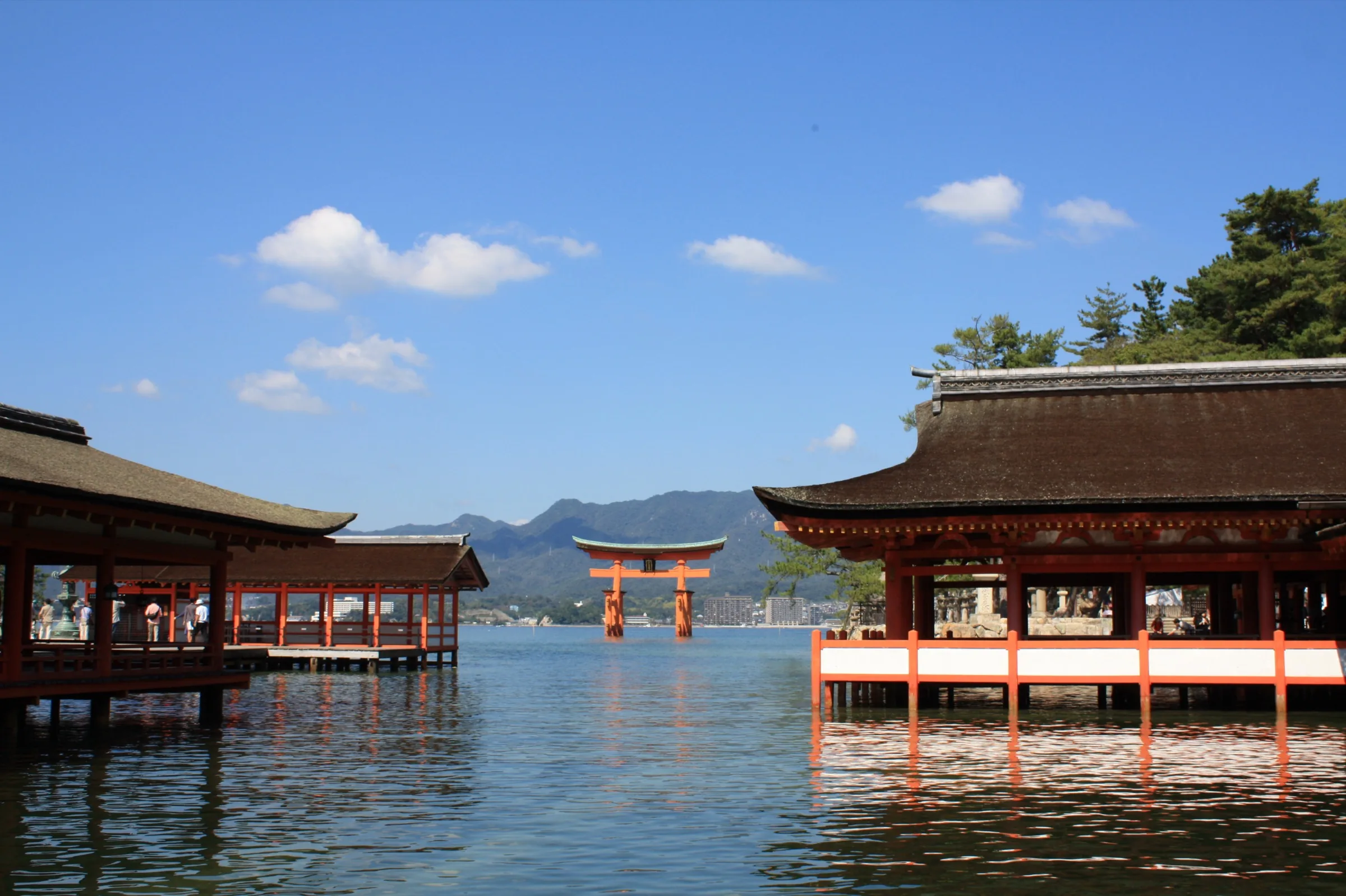
A floating gate leaves time outside the frame
Miyajima’s great torii often appears surrounded by water, its vermilion outline separated from the shore. The photograph can make this seem permanent. Higher water surrounds the pillars; lower water exposes ground previously hidden beneath it. Both belong to the same place.
Floating is therefore a visual effect with conditions. The structure stays put while its visible relationship with the ground changes. An exposed shore is not a failed version of the island. It reveals scale and support that the high-water image conceals.
The offshore gate once had an approach through it
Japan’s national tourism account describes worshippers approaching the shrine by boat beneath the gate. The torii was connected with arrival, rather than being an isolated object placed offshore for people on land to admire.
Arriving at today’s ferry terminal and walking along the shopping street produces another sequence. The gate may first appear at a distance or to the side. The historical water approach and present-day walk need not be presented as identical experiences; their difference helps explain the gate’s position.
Corridors divide the bay into successive views
The distant gate offers an outline; the shrine corridors bring attention closer. Columns, roof and floor frame openings onto water and the opposite shore. Moving along the passage changes how much of the building and bay can be seen together.
A defined walking surface sits beside a setting altered by the tide. That relationship is difficult to understand from one photograph of the complete shrine. A corridor image can help, but its recorded water level cannot establish conditions or access on another day.
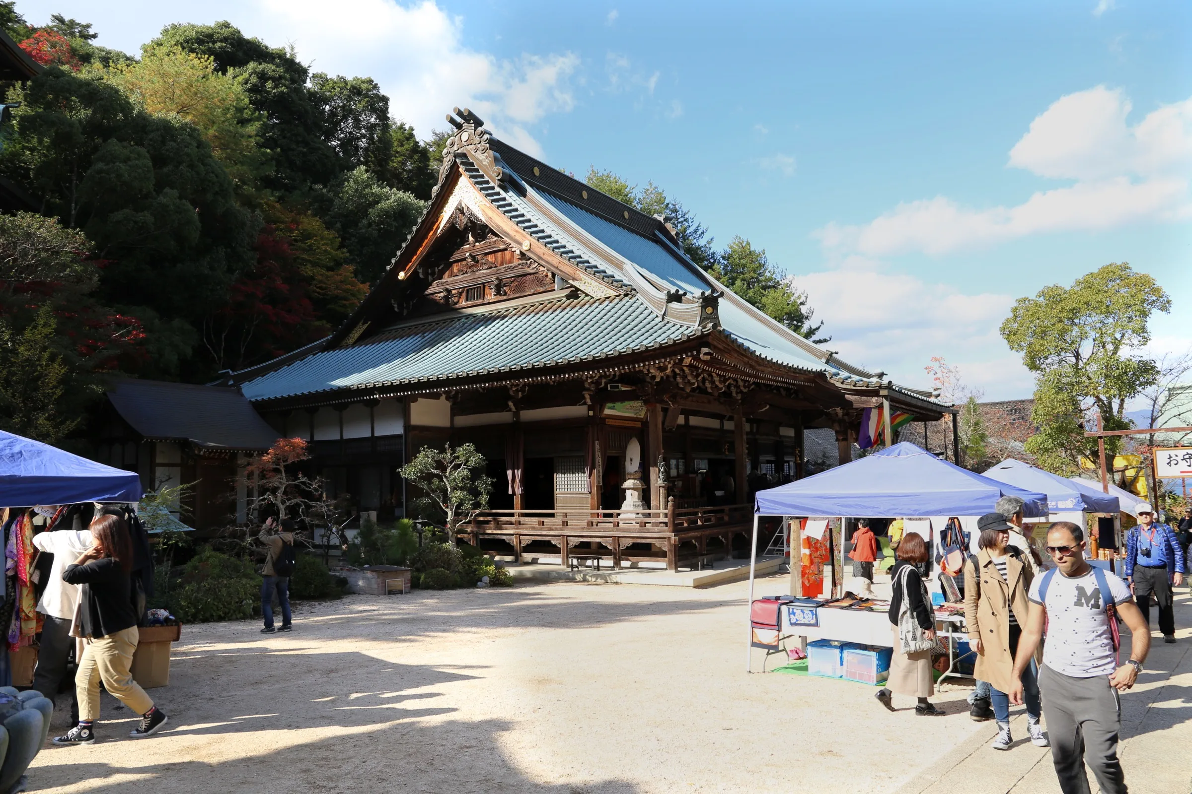
Towards Daisho-in, the hillside replaces the horizon
The approach to Daisho-in changes the island’s emphasis from open water to steps, trees and nearby buildings. The temple is another religious setting with its own relationship to terrain, rather than merely a background stop after the famous gate.
The shore and hillside pose different spatial questions. Corridors organise movement across a level surface; steps divide an ascent into stages. Comparing the two makes the limited land between sea and mountain more apparent.
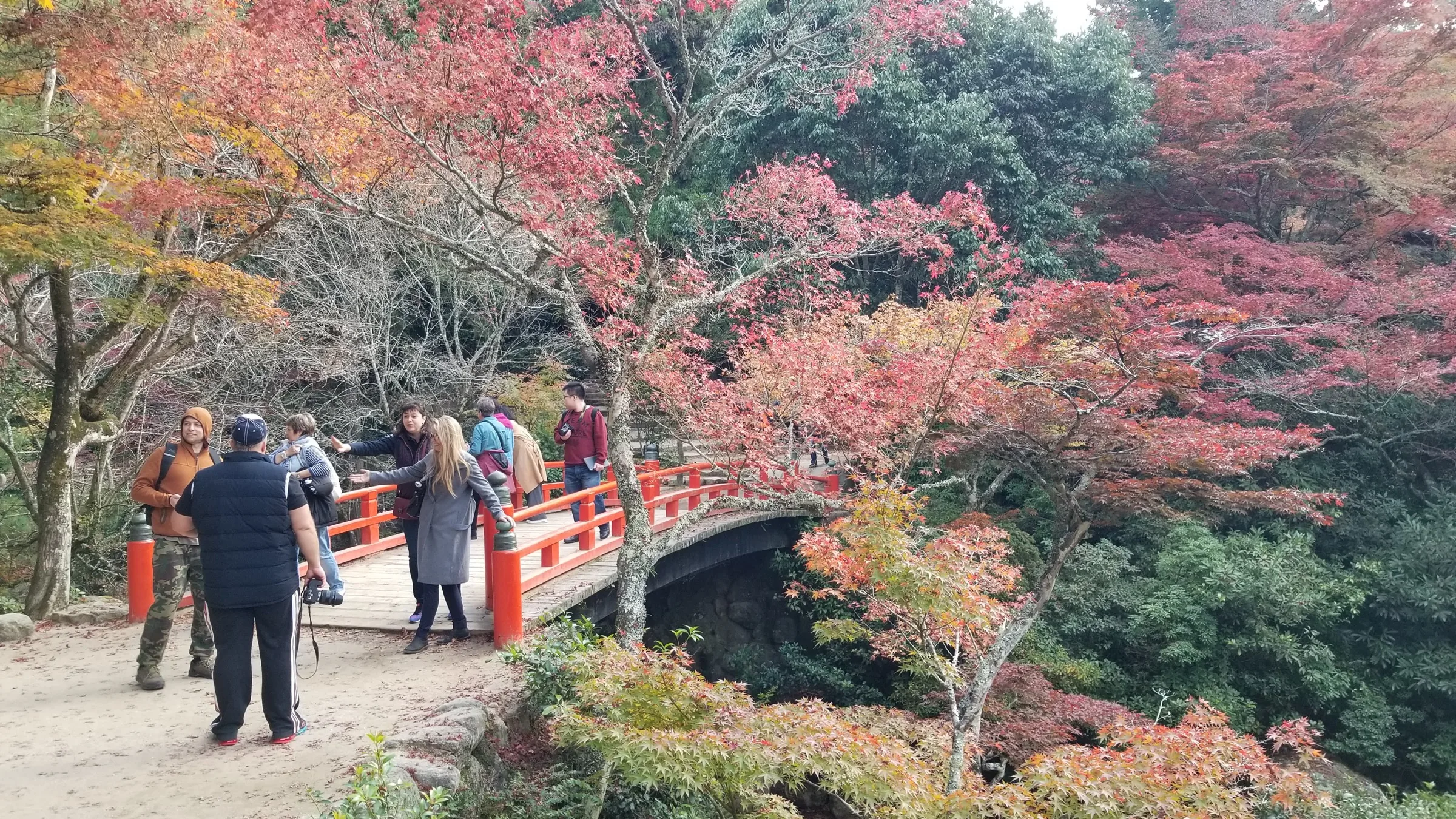
Momijidani still exists outside autumn
The name Momijidani and an autumn photograph naturally draw attention to coloured leaves. Yet colour is seasonal, while stream, valley and tree canopy establish a setting that can be understood at other times too.
The mountain here is no longer only a distant backdrop to the shrine. It becomes the slope and trees nearby. Taken with the temple and waterfront, the valley introduces another scale: the distant gate, the corridor around the visitor and ground rising beneath their feet.
Use the tide to organise a day, not grade it
If a water-surrounded torii matters to you, consult published local tide information alongside shrine and ferry arrangements. Morning or evening is not a substitute for a tide forecast, and sunset need not coincide with the desired water level.
Nor must the entire visit depend on one ideal frame. Low water reveals useful details, while streets, temple and valley offer other experiences. Treat a preferred tide as one point in the day. The island becomes fuller when the gate is remembered together with the corridor and the hillside.
References
These sources inform the essay’s historical and local context. Its observations and interpretations are original to WalkThere.
Miyajima Official Tourism Website
The great ToriiBackground on the great torii and its waterside setting.
Japan National Tourism Organization
Itsukushima-jinja ShrineContext for Itsukushima Shrine and its tidal landscape.
Miyajima Official Tourism Website
Weather Forecast, Tide TableA tide-information resource rather than evidence of a future water level.
More journey background
Related journey sources
- 1 day course — Miyajima Official Tourism Website
- Access — Miyajima Official Tourism Website
- Momijidani Park — Miyajima Official Tourism Website
- Transportation on the Island — Miyajima Official Tourism Website
- Itsukushima Shrine — Itsukushima Shrine
- Admission — Itsukushima Shrine
- Fares — JR West Miyajima Ferry
- Time Schedule — JR West Miyajima Ferry
- Fares — Miyajima Matsudai Kisen
- 交通アクセス — Daisho-in
- お知らせ — Daisho-in