
Luang Prabang: Streets and Temples Between Two Rivers
Read Luang Prabang’s peninsula through the Mekong, Nam Khan, Mount Phousi and Wat Xieng Thong, connecting roofs and courtyards with the shape of the town.
Luang Prabang PeninsulaObservation essay
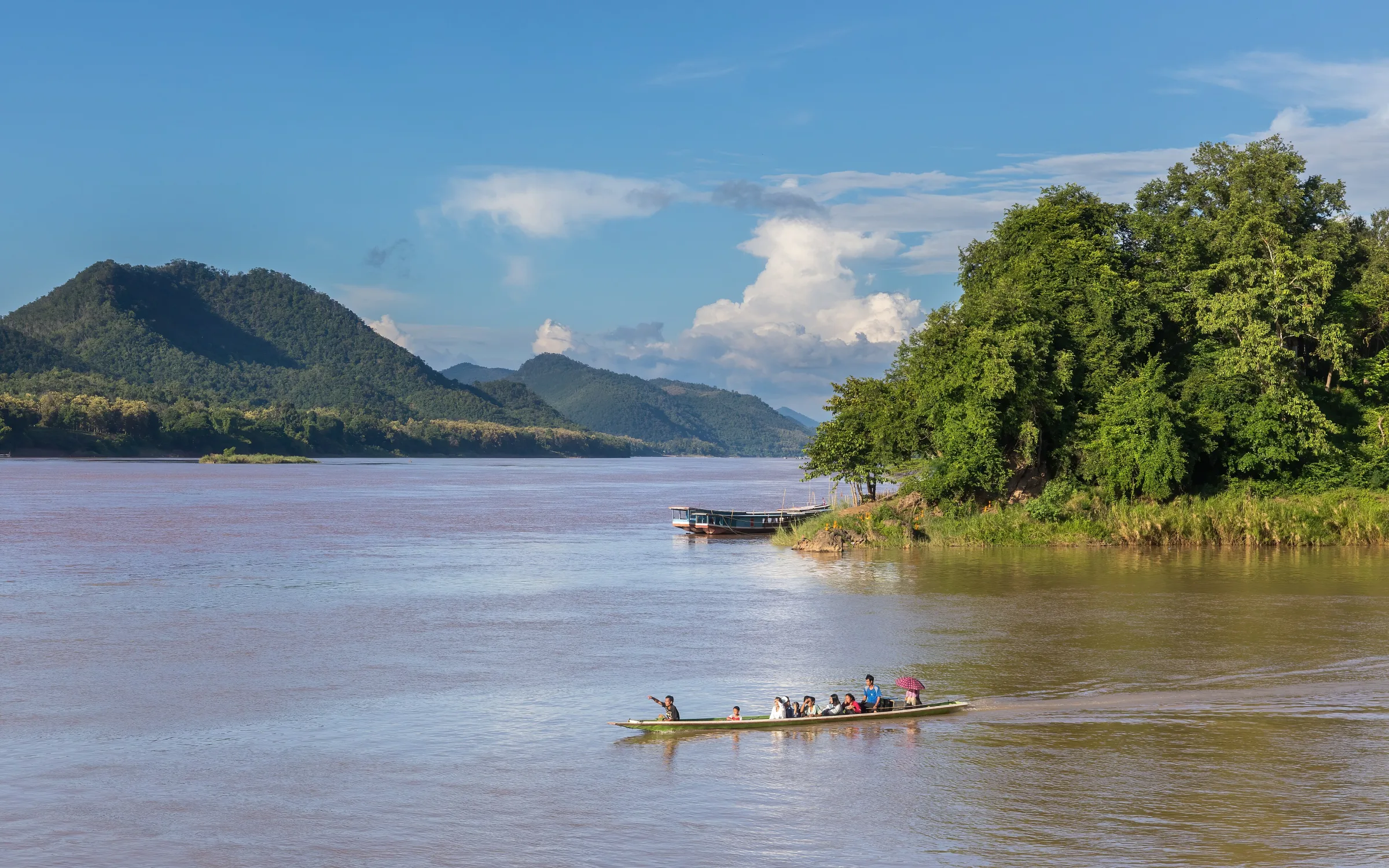
Begin with the rivers rather than a checklist
The former Royal Palace, Mount Phousi, Wat Xieng Thong and the riverbank are easily turned into a list of separate stops. A wider map first reveals the peninsula formed by the Mekong and Nam Khan. Water and rising ground give those places a shared setting.
Moving along the main street and moving towards a riverbank are different ways of experiencing that setting. One connects buildings and courtyards; the other opens the view. Knowing which river lies nearby and where the hill stands helps individual names become parts of a town.
The palace and the hill offer different distances
The former Royal Palace and Mount Phousi face one another, making them natural companions in an itinerary. Their viewpoints differ: the palace grounds invite attention to a particular place, while the hill helps locate the town within rivers and mountains.
A view from above explains geography but reduces street detail. An entrance used by people becomes a gap between roofs; a courtyard becomes a small open patch. The panorama is valuable for orientation, but it cannot replace an understanding gathered at street level.
Wat Xieng Thong begins with the weight of a roof
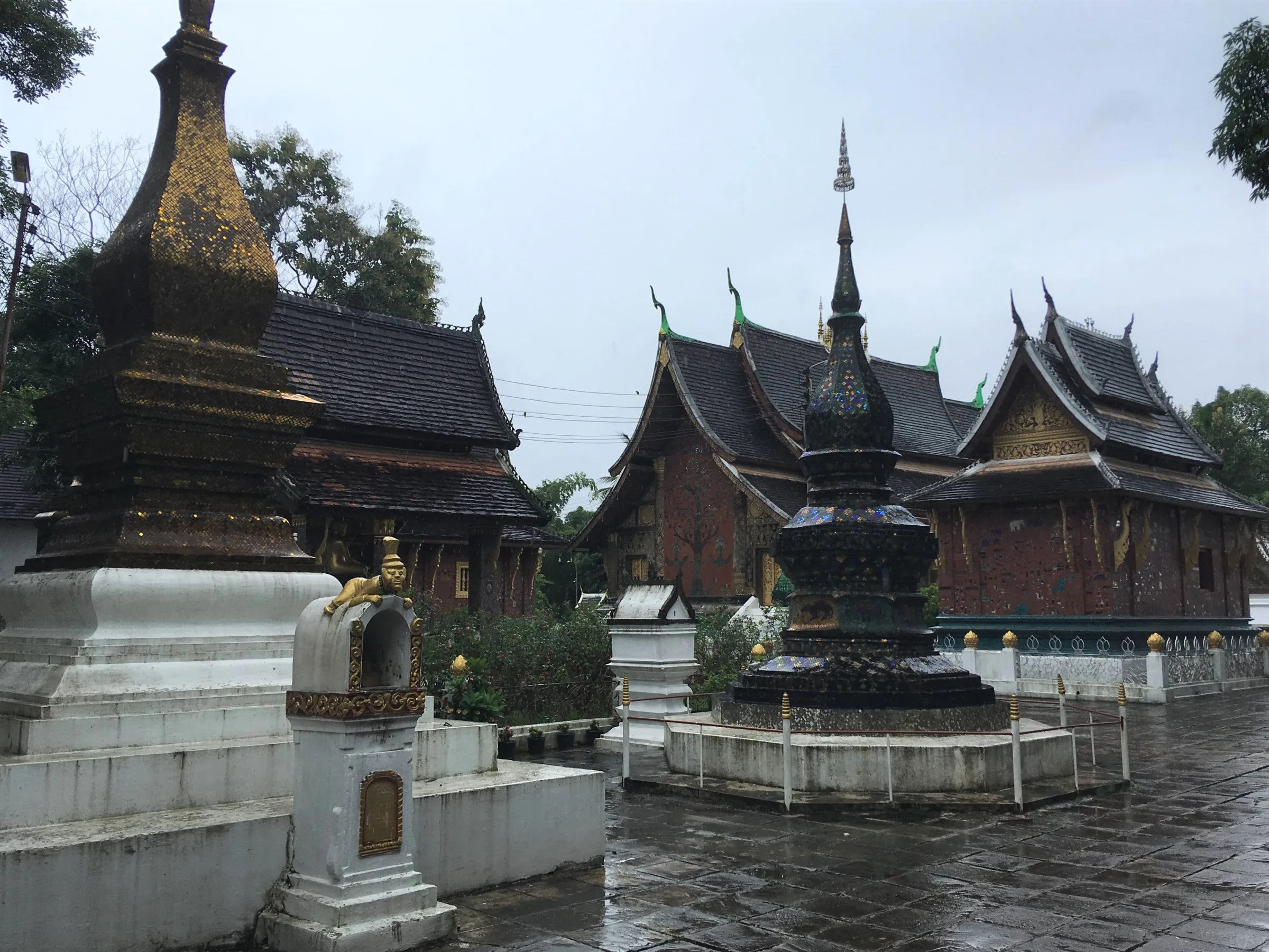
The local tourism authority dates Wat Xieng Thong to King Setthatirath in the sixteenth century and highlights its sloping roofs and glass mosaic decoration. The roof’s descent towards the ground is more revealing than a general description of splendour: it gives the building a particular relationship with the courtyard.
The compound is also larger than a frontal view of the main hall. Distances between structures and changes in roof height become apparent within it. The linked journey pairs rainy and sunny photographs made years apart. They help establish spatial relationships without promising the same light or appearance on another visit.
The street does not divide history into neat halves
UNESCO describes a townscape bringing Lao traditional architecture together with colonial-era buildings. It is difficult to experience that combination as two separate chapters, one local and one European. Timber, masonry, windows and balconies belong to a shared street.
Ordinary connections matter as much as individual monuments: spacing between houses, courtyards facing the road and entrances serving present-day uses. Sorting buildings by period alone overlooks their adjacency. The town is also the result of different structures having existed and been used together.
At the confluence, the peninsula acquires an end
Where the Nam Khan meets the Mekong, the outline on the map becomes tangible. One journey photograph records a boat near the meeting waters; another looks back towards inhabited banks. Open water and the built edge explain different aspects of the same place.
Water colour, boats and weather belong to the moment of each photograph. The relationships are more dependable: where the rivers approach, which bank holds the town and how buildings sit near the water. Those observations remain worthwhile even without a particular sunset.
A slower town is not an empty town
Luang Prabang is often associated with slowing down. That need not mean streets without people or local life adjusted to a visitor’s timetable. Temples, doorways, shops and riverbanks have uses beyond providing atmosphere.
Give one place time without immediately preparing for the next stop. Understand a roof and courtyard at Wat Xieng Thong, then return to the street; identify the rivers rather than waiting only for a photographic moment. Connecting a temple to its neighbourhood and a street to the water can leave a clearer memory than a long list of names.
Further reading and journey sources
This is an original WalkThere observation essay. These sources provide context for the related journey; imagery does not establish current conditions.
Place context
- Town of Luang Prabang — UNESCO World Heritage Centre
- Wat Xiengthong — Luang Prabang Tourism Department