
Edinburgh’s Royal Mile: The Old Town Beside the Main Street
Read the Royal Mile through closes, tall stone buildings, St Giles and Canongate, discovering the depth beside the ridge between castle and palace.
Edinburgh Royal MileObservation essay
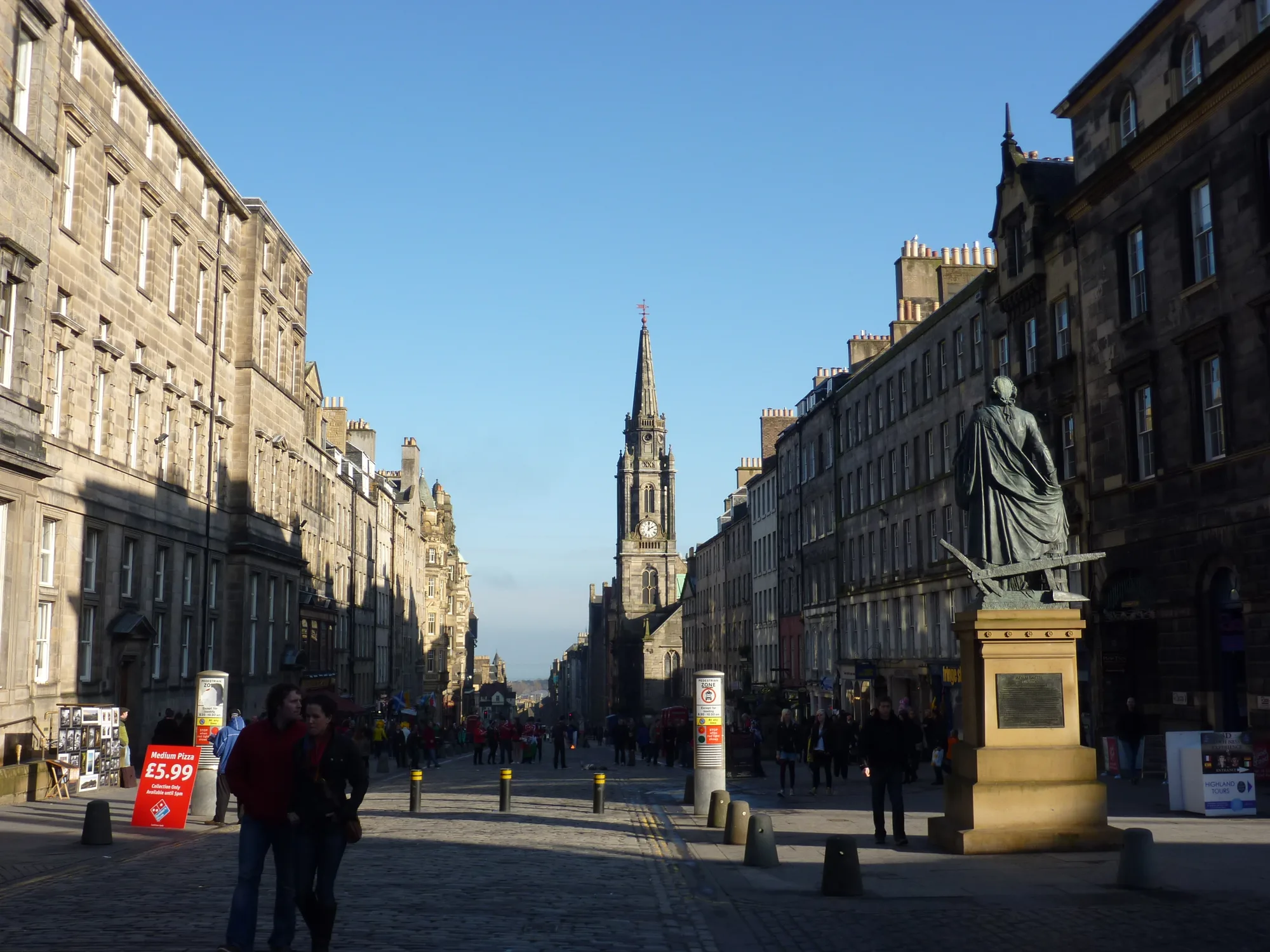
There is more than a connection between two landmarks
Edinburgh Castle and Holyroodhouse give the Royal Mile two recognisable ends. Focusing only on reaching the next landmark can turn narrow entrances, upper windows and enclosed courts into background, though much of the Old Town lies in those details.
The ridge establishes a direction from the higher castle end towards the palace. Side passages repeatedly pull attention away from that axis. Reading the town requires both movements: following the overall shape and looking sideways into its depth.
A fishbone plan visible from a doorway
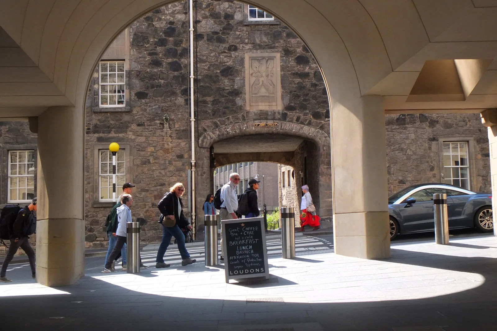
Edinburgh World Heritage describes the Old Town through its fishbone street pattern, with narrow passages and courts branching from the spine. This can be understood at an entrance as well as on a map. A gap between façades may connect the main street with another layer of space.
Names such as close and wynd also give individual passages an identity. An apparently open entrance does not establish public access to everything beyond it. Signs and residential boundaries belong to the reading of the street, rather than being obstacles to a photograph.
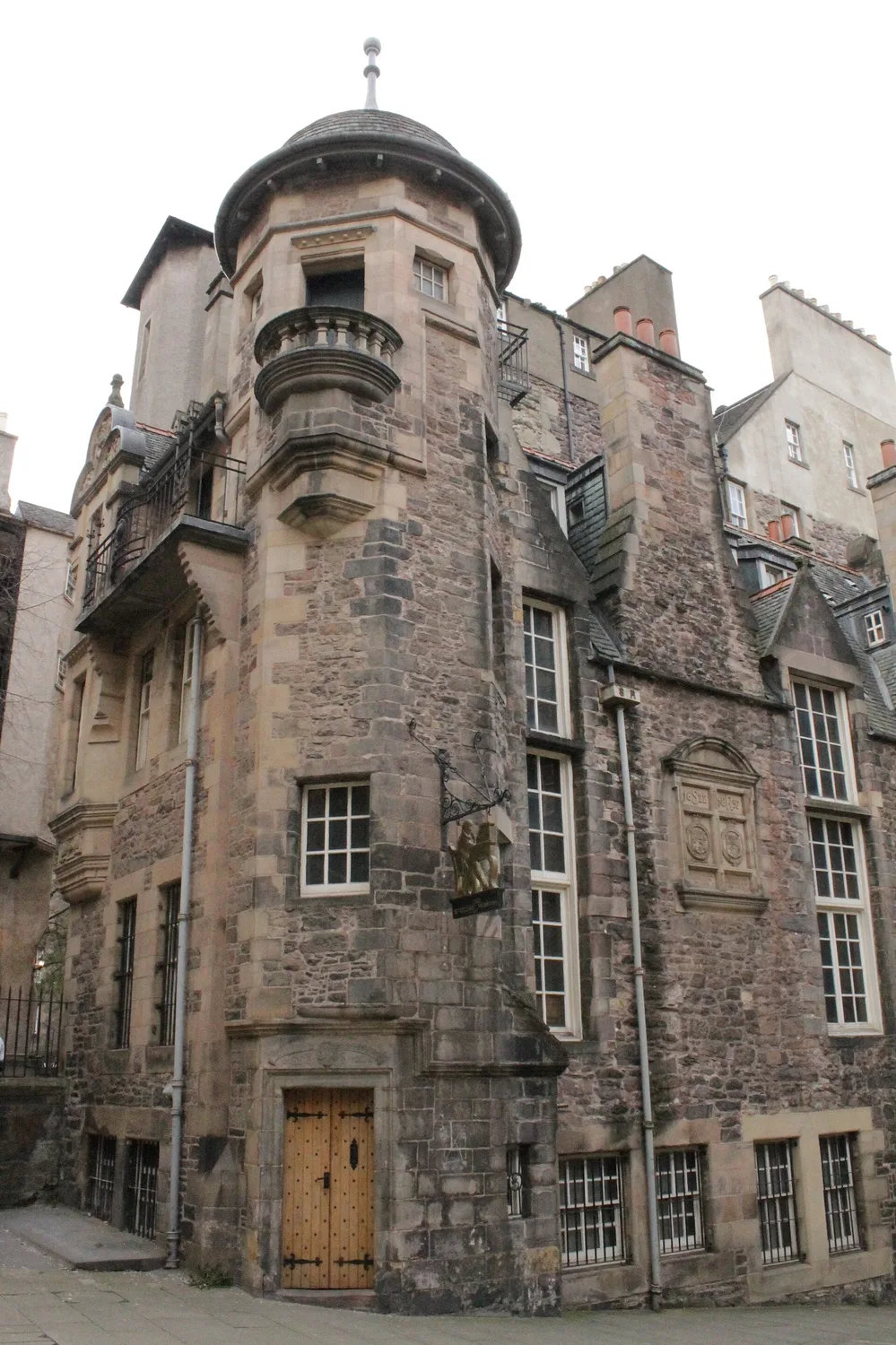
Windows accumulate above narrow plots
The heritage account identifies tall buildings on narrow plots as a defining characteristic. Looking upwards makes density tangible: space was accommodated above the frontage as well as behind it. The relationship between height and street width is more revealing than one decorative window.
A tenement is a building divided among households, not evidence by itself of one uniform social condition. Walls reveal spatial organisation; the lives behind them require other evidence. Keeping that distinction avoids inventing biographies for unknown windows.
St Giles gives the route a place to pause
St Giles changes the rhythm after repeated façades and narrow openings. Its mass and surrounding space make a building legible at a different scale. It contributes to the skyline while also acting as a clear marker within the street.
Visibility outside and access inside remain separate questions. Interior photographs help explain arches and light but do not guarantee current entry. Worship and visiting arrangements give the building purposes beyond its use as a landmark.
Canongate has an identity along the same road
Continuing downhill into Canongate preserves the route’s continuity but introduces another historical identity. St Giles’ history connects its origins with settlement extending uphill from Holyrood Abbey. The convenient castle-to-palace sequence contains districts with different beginnings.
Canongate’s civic and religious buildings therefore deserve attention beyond being the final approach. Their clocks, stairs and entrances reveal institutions within a street of homes and other uses. A road can continue while the identity of the place around it changes.
Look back before the palace becomes the conclusion
Holyroodhouse and the abbey remains place continuing use beside incomplete historic fabric. The route does not finish by resolving everything into one period. Its ending introduces another encounter between different times.
Looking back, the Royal Mile is more than its length: ridge supplies direction, closes supply depth, tall buildings supply density and institutions provide places to pause. Entering every court is unnecessary. Noticing how the main street connects with what lies beside it already reveals a fuller town.
References
These sources inform the essay’s historical and local context. Its observations and interpretations are original to WalkThere.
Edinburgh World Heritage
The UNESCO World Heritage SiteContext for the Old Town’s street pattern and historic urban fabric.
St Giles’ Cathedral
History of St Giles’ CathedralHistorical background on St Giles’ Cathedral along the Royal Mile.
More journey background
Related journey sources
- Edinburgh Castle: plan your visit — Historic Environment Scotland
- St Giles’ Cathedral — St Giles’ Cathedral
- Practical information for visiting the Palace of Holyroodhouse — Royal Collection Trust