
Boston Common: grass and the meaning of shared ground
Read Boston Common through the 1634 land purchase, grazing rules and city archaeology, with three different photographs of its public landscape.
Boston Freedom TrailObservation essay
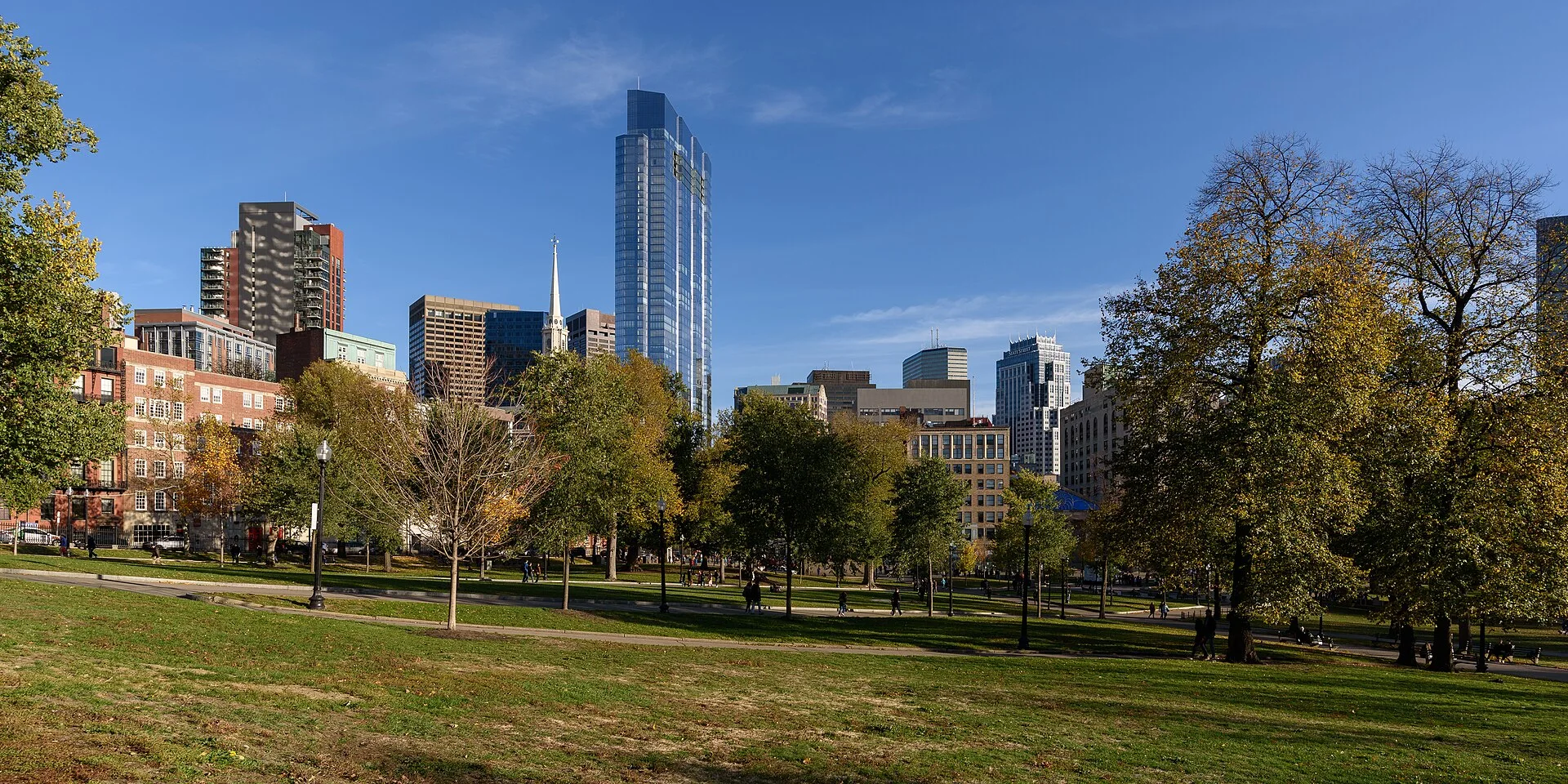
Open ground has a history
An open area in a dense city can feel like a release: buildings retreat and walking seems to offer more choices. Boston Common’s history, however, extends beyond providing a green place for leisure.
The National Park Service places agricultural, military and recreational uses together. Quiet-looking ground has accommodated changing demands. Its apparent emptiness should not be mistaken for an absence of history.
A purchase is not a beginning
The NPS records the town’s 1634 decision to tax households to purchase land for common use. That dates a civic arrangement, not the beginning of human activity here. Boston’s archaeology account places the ground within a much longer Massachusett history.
Institutional age, a land transaction and earlier habitation are different timelines. Setting aside a superlative about age allows those histories to remain visible beside one another.
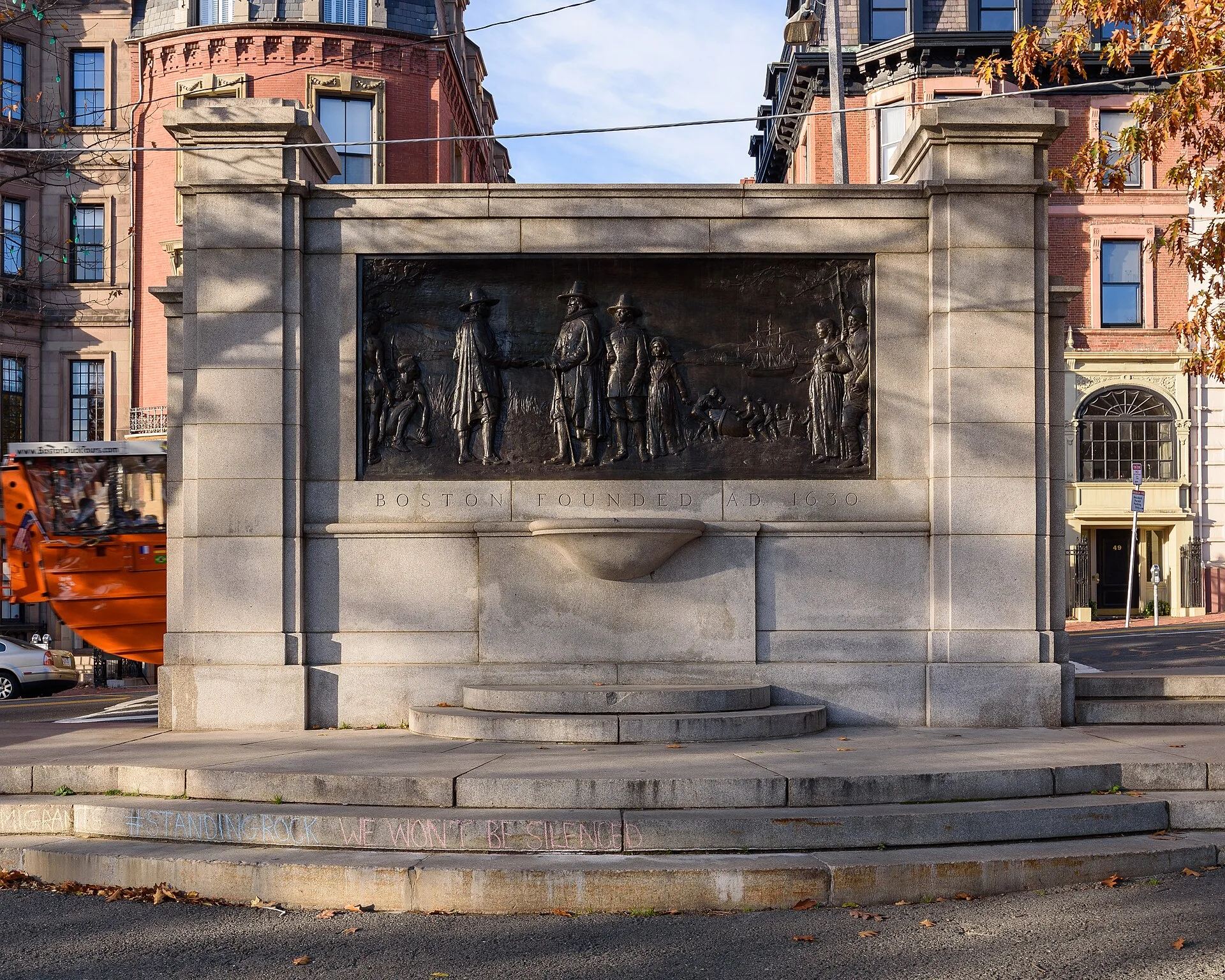
Sharing had conditions
Common ground can suggest equal access. The city’s archaeology account specifies that colonial grazing rights belonged to white male property owners. The NPS also describes restrictions on cattle numbers. Shared resources still had boundaries.
Rules are less visible than fences but can determine access just as effectively. Present-day grass does not reveal that distribution of rights. Records restore conditions that cannot be read directly from the surface.
After the cattle
The NPS dates the prohibition of cows to 1830 and removal of pasture fences to 1836. Increasing emphasis on recreation changed what people wanted from the same ground, including ways to walk and pause.
Change did not happen in a single completed instant. Paths, planting and monuments accumulated alongside new habits. Comparing open areas with routes can reveal how a park accommodates both passing through and staying.
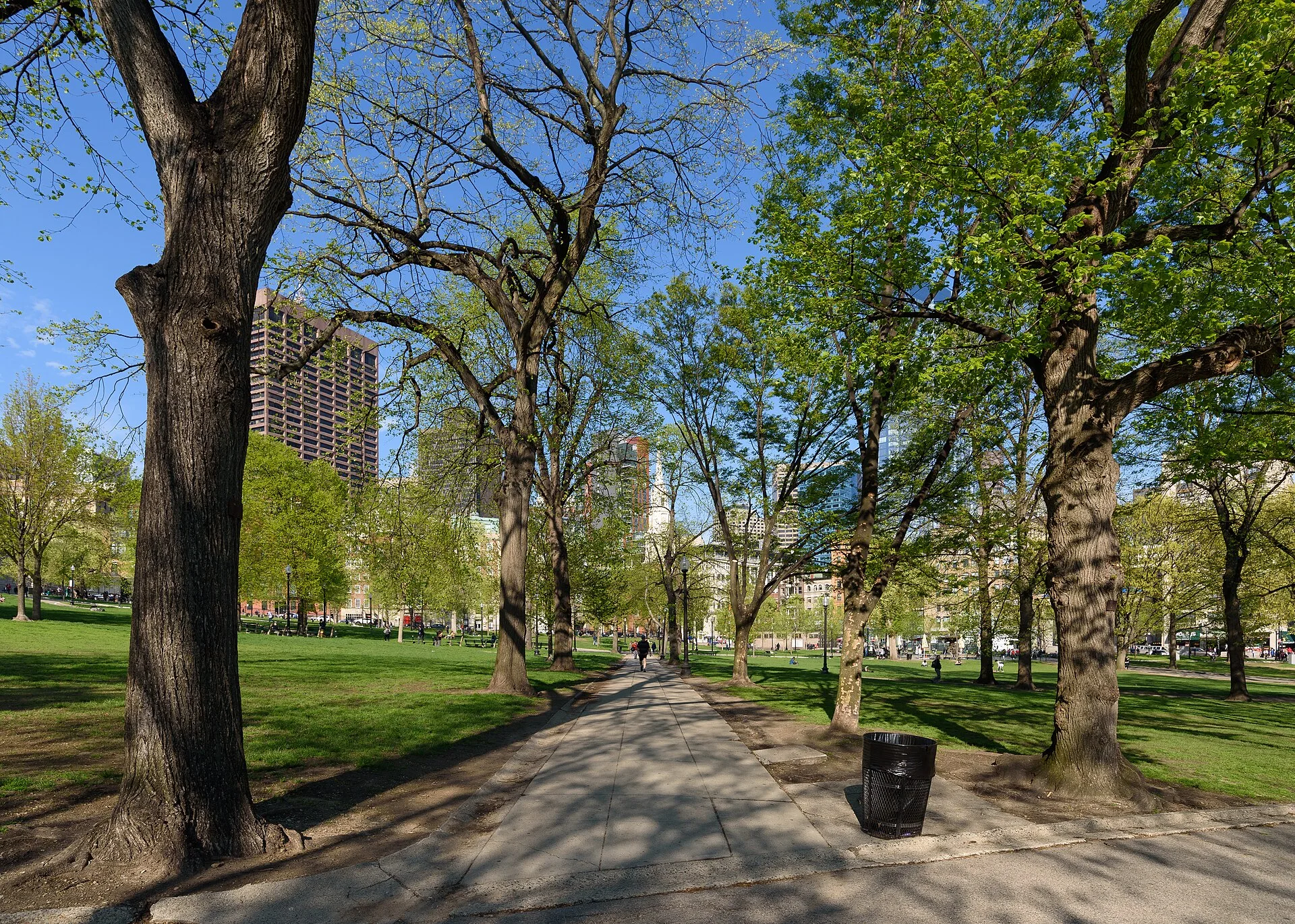
Time beneath the path
The city describes shell deposits, pottery and stone tools among evidence of earlier activity. Such information requires investigation and interpretation before it becomes part of a public account. It is not immediately visible beside a lawn.
These photographs do not show excavated objects or locate particular deposits. Reading them alongside archaeology gives the ground depth: the surface used today may cover evidence of other lives and activities.
Rest, then another question
A park can simply offer somewhere to rest. Knowing about grazing, regulation and archaeology adds possibilities without requiring every pause to become a history lesson. Ordinary movement becomes another way to notice shared use.
The separate photographs do not establish present access or event arrangements. They leave a broader question: what keeps an open place open, and who decides its uses? Maintaining public ground involves more than tending the grass.
References
These sources inform the essay’s historical and local context. Its observations and interpretations are original to WalkThere.
National Park Service
Boston CommonNPS account of purchase, grazing restrictions and recreational change.
City of Boston
Boston Common archaeologyCity account of Massachusett history, colonial access and archaeology.
More journey background
Related journey sources
- The Massachusetts State House — Commonwealth of Massachusetts
- Visit the State House — Massachusetts Legislature
- Old State House — National Park Service
- Boston Slavery Exhibit — City of Boston
- Frequently Asked Questions: Faneuil Hall and slavery — National Park Service
- Paul Revere House — Paul Revere Memorial Association
- Paul Revere House archaeological sites — City of Boston
- Granary Burying Ground — City of Boston
- King’s Chapel — National Park Service
- Old South Meeting House — National Park Service
- History of Old North Church — Old North Church